

 3D Mapping & Devices
3D Mapping & Devices – Microsoft
All data is hosted in Microsoft’s cloud storage azure environment, ensuring safe and permanent storage. FLORIAN also uses predefined services within the environment including automated Mayday calling capabilities.
 Satellite Mapping – Esri
With Esri, FLORIAN offers highly customizable satellite maps. You can choose the map layer most suited to your incident.
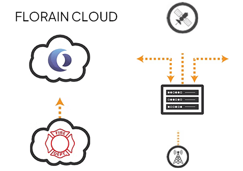 TECHNICAL SPECIFICATIONS
COMPONENTS
- Operator experiences for tablet, phone, watch, and laptop (offline capable)
- Admin experiences for web (provision accounts & devices, monitor performance, analyze data)
- Open REST API to push/pull your data
- Integration utilities to push/pull your data Secure cloud environment
 Mesh Network
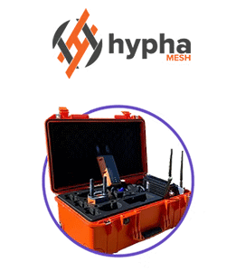
Hypha
Through integration with Hypha FLORIAN is able to create local networks, allowing communication and connectivity in any environment including in comms-denied areas.
 Z-Axis Location
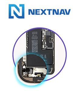
NextNav
Through our integration with NextNav FLORIAN is able to show vertical location. Whether your personnel are below ground or several floors up you can locate them in an instant.
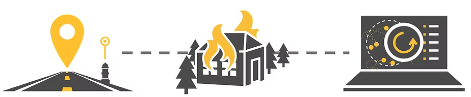
![]() Telemetry Data
Telemetry Data
3M Scott Safety
Actively working with 3M Scott Safety to integrate with FLORIAN to deliver SCBA level data straight to the incident command center.

Decisions Under Fire: A Webinar with CalChiefs

Decisions Under Fire: A Webinar with CalChiefs
3AM Wildfire Exercise with Microsoft in San Bernadino
Microsoft Public Safety & Justice Seminar Series (AUS)
320 Seconds: Maximizing Situational Awareness While En Route - with Panasonic TOUGHBOOK
FINDER MK4 Enkaz Altı Canlı Tespit Cihazı
"Tracking & Accountability Beyond The Network Edge" Webinar 11/10/22